
Photographs taken 2004 to 2009
(continuing on from the Moorswater to Caradon & Gonamena section of the line)
The Liskeard & Caradon Railway (L&CR) continues on up around Caradon Hill to Minions, and the quarries and mines beyond, having been built for the transport of granite and copper ore down to the quays at Looe.
The Liskeard and Caradon Railway had a particularly roundabout route as it climbed up past St Cleer and around Caradon Hill to Minions, and the layout of track beds is quite complex and has changed a number of times during its history. The map copy below (from the maps that are on display in the Minions Heritage Centre, which is now an information centre for the Cornish Mining World Heritage Site), shows the northern section, after the Gonamena Incline had ceased to be used. The improved route was taken around Caradon Hill via Tokenbury Corner and across the top of the Marke Valley Mine, that was also then served by its own branch (the short line to the right on the map). The line to the north continued on as the Kilmar Railway, to serve the Bearah Tor and Kilmar Tor quarries.
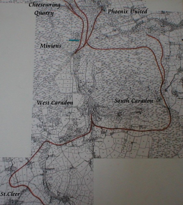
The northern section of the Liskeard & Caradon Railway
(photo
taken from map on display at Minions Heritage Centre)
The new line included a "Y" junction where the train revesed
direction to continue onwards, and was situated
at the bottom of
the Seaton river valley to the extreme right of the photograph in
the trees. The line to Tokenbury
then crossed a new bridge just
above Crow's Nest as it headed east.
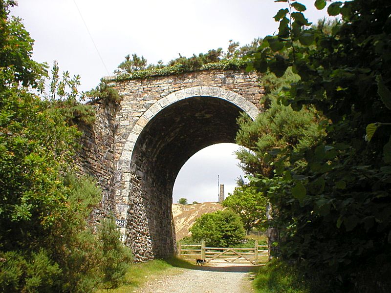
The Liskeard & Caradon Railway bridge just to the north of Crow's
Nest
and south of Caradon Hill and the
South Caradon Mine
The embankment of the line as it heads east to Tokenbury
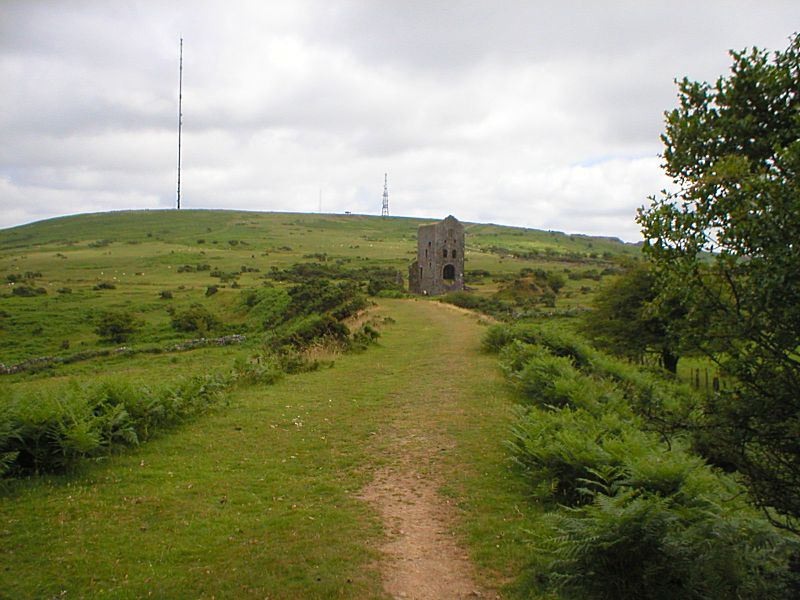
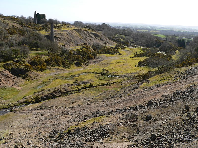
The line swings west around the north of Caradon Hill, and is seen
here looking back down the line as it
passes the old Bellingham
Shaft pumping engine house of the Wheal Jenkin mine,
and then
turns north again to cross the Minions road just outside the
village.
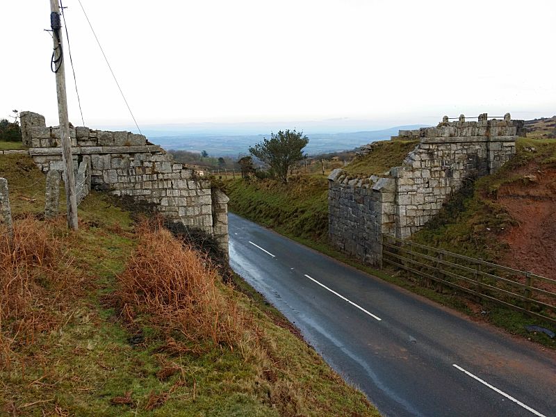
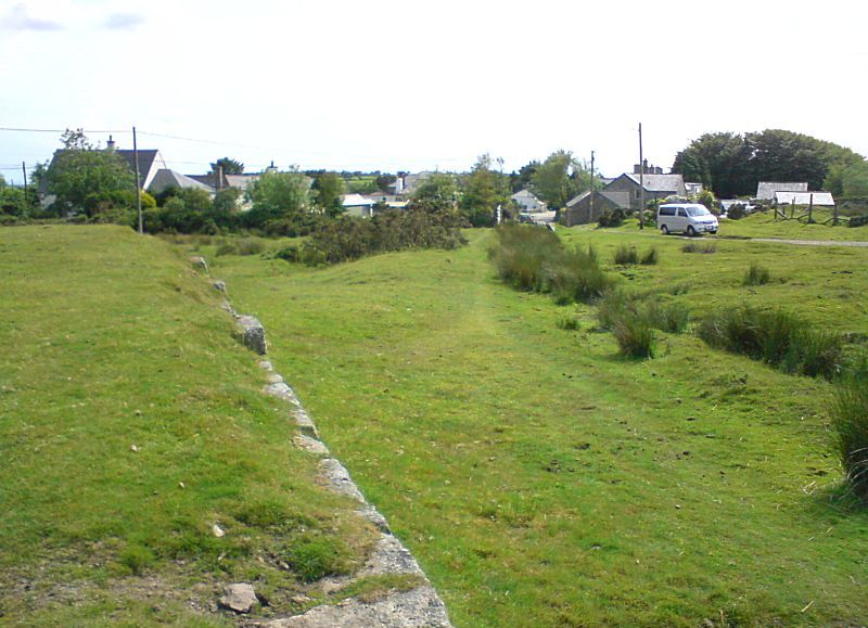
Unfortunately, the bridge at Minions (sometimes called the Rillaton
Bridge) was blown up by the US Army during
the Second World War
for them to be able to move artillery equipment for firing training
on the moor!
Looking north across the (blown up!) bridge at Minions, towards the
old line to the Cheesewring Quarry,
where this new line back
links with the old quarry line (see map) and joins up with the
Kilmar Railway line.
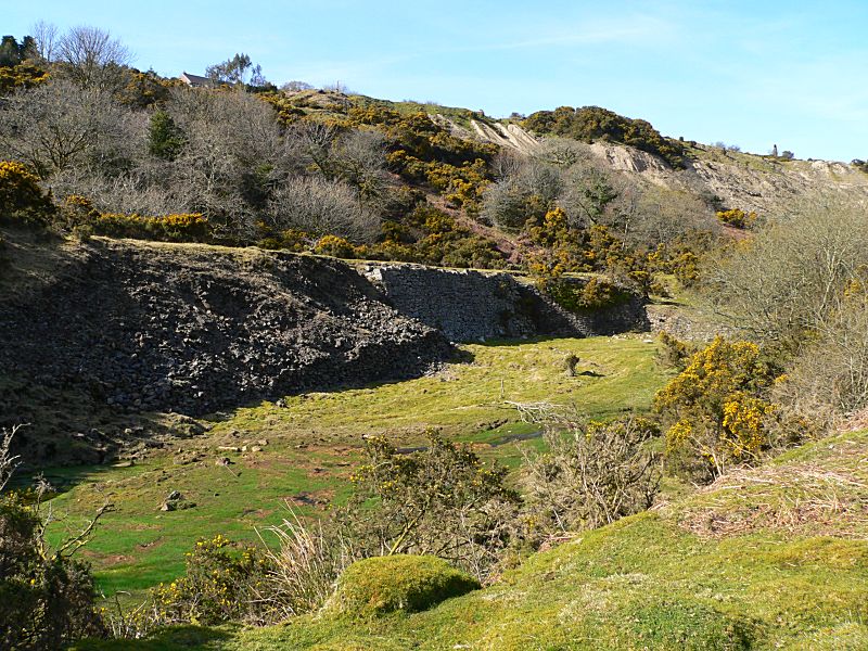
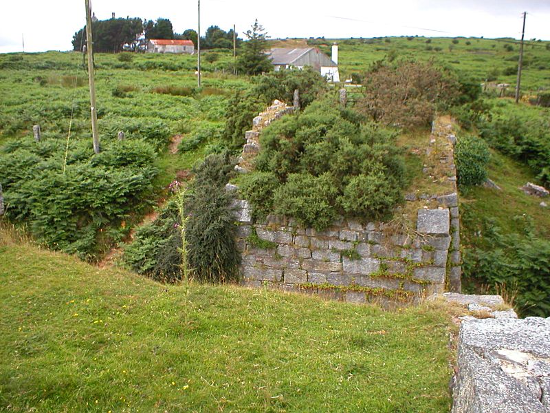
The old L&CR quarry line as it came up from Minions village and the
Gonamena Incline...
...and passes the site of some old loading bays and sidings.
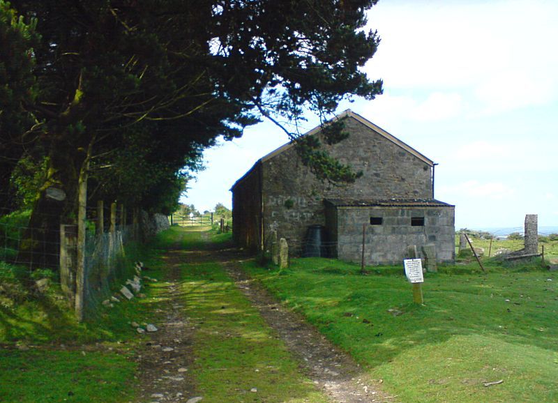
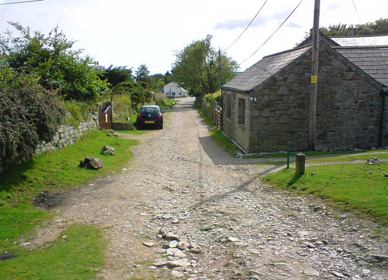
An old railway shed on the way to Cheeswring Quarry
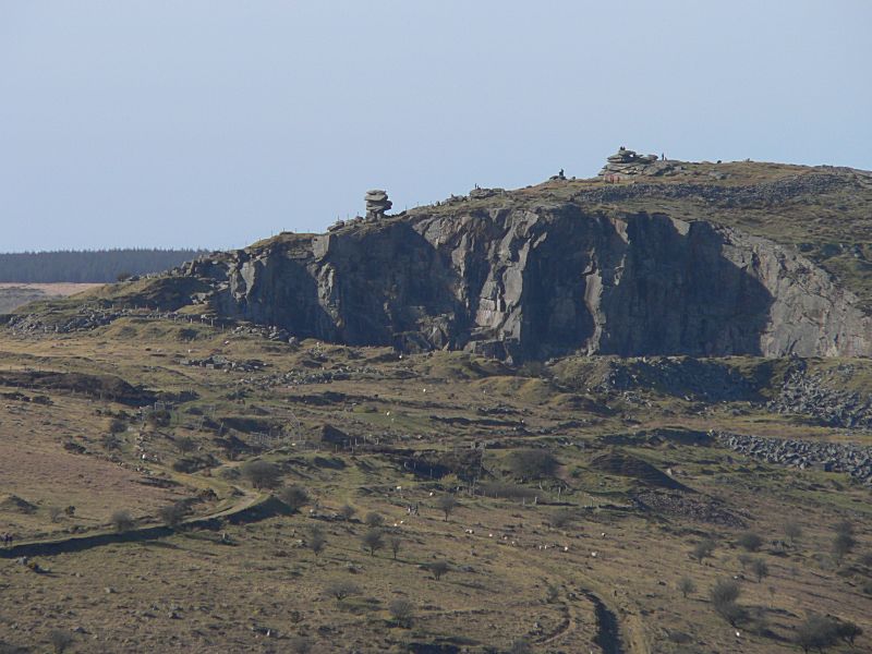
A view of Cheesewring Quarry, showing the route of the line into the
quarry running left to centre.
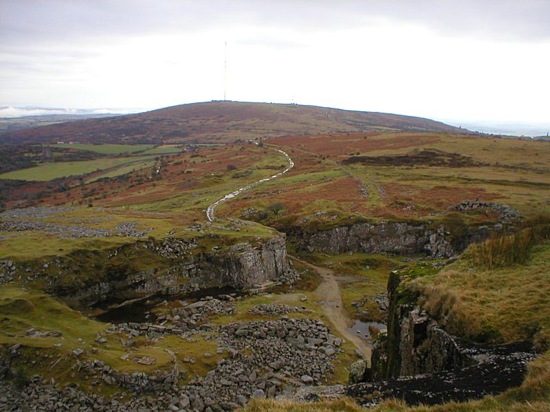
Looking back from the top of the Cheeswring Quarry showing the line
of the track (with puddles!)
as it heads back down and round the
side of the hill to Minions.
Kilmar Railway Extension
The Kilmar Railway line, originally operated by the Cheesewring Quarry, was built to link to the Bearah Tor and Kilmar Tor quarries. There is still a working quarry discretely tucked away at Bearah Tor, but this small operation is now served by road. There was also at one time after 1887 a plan to extend the Kilmar Railway to link up with the North Cornwall mainline from Launceston with an extension at least to Trewint near Altarnun, but this never came to fruition, save for the construction of some embankments along the route, that can still be made out on the map east of Smallacoombe Downs.
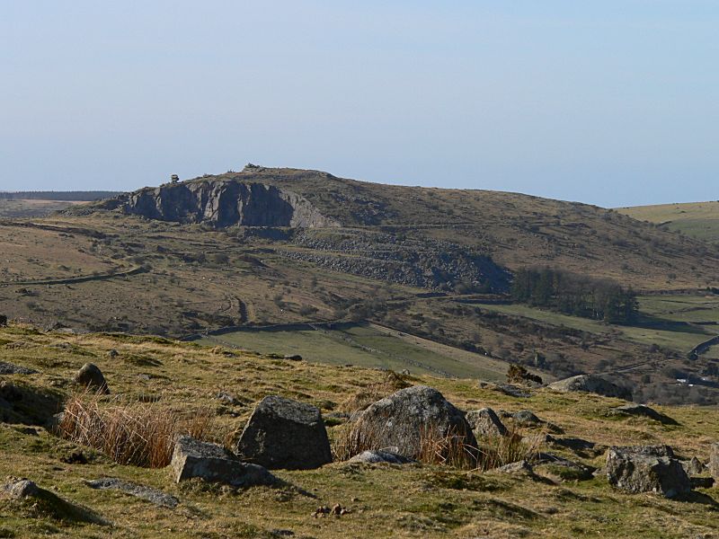
As seen from the top of Caradon Hill, the line of the Kilnar railway
around the base of Stowe's Hill can be made
out running left to
right in the centre on the photograph.
(The line of a linking
tramway can also be made out linking to the Cheesewring Quarry line,
mid-left)
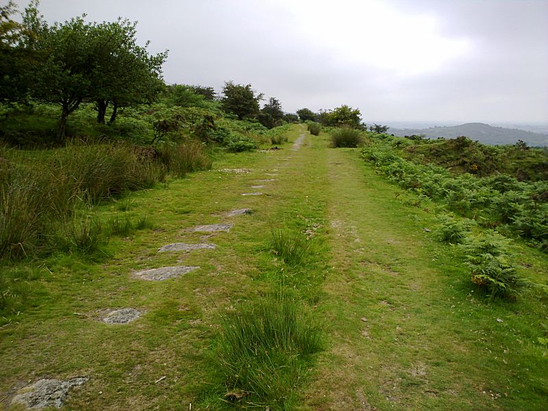
The Kilmar Railway as it heads around the east of Stowe's Hill.
Much of the old track beds are preserved as walking tracks, which
make very good paths to explore.
This would have been a very scenic little branch line, if the quarry
and railway workers had time to appreciate it!
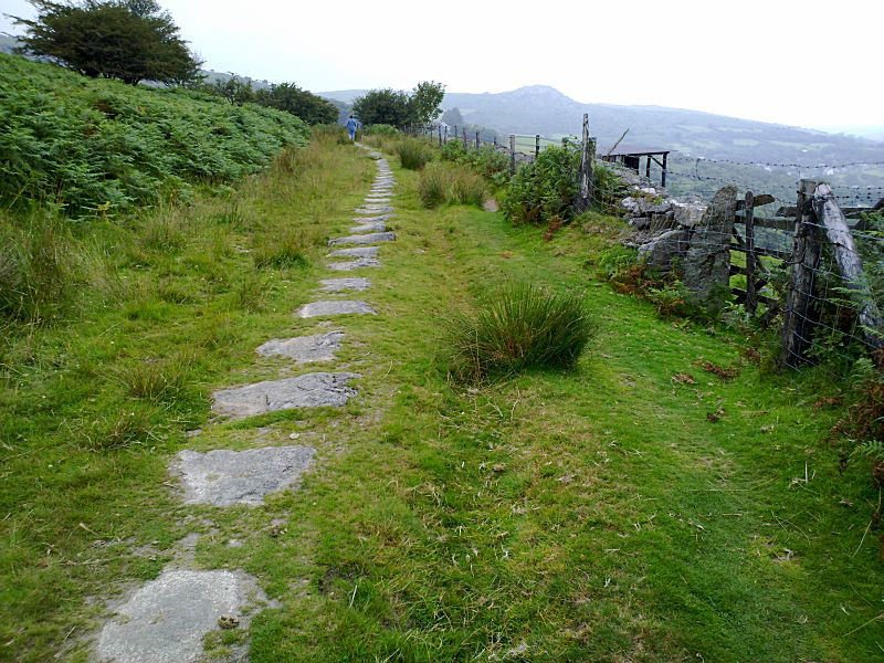
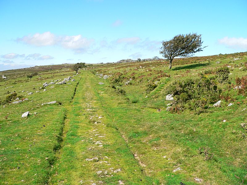
The sleeper stones
are clearly visible along this stretch,
but the stones for the
left rail in this photo are partly hidden in the grass near line of
the bracken.
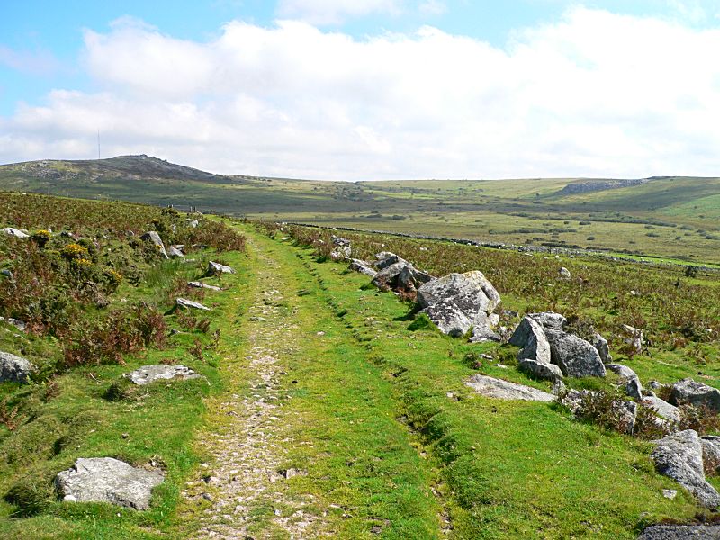
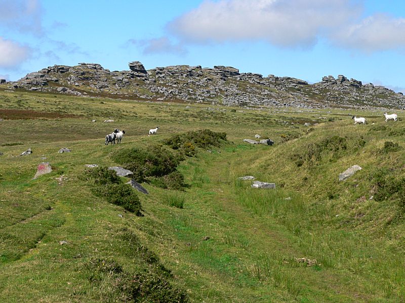
Looking back down the line as it curves around the side of the hill
north of Wardbrook Farm,
and Stowe's Hill that is now on the
skyline to the left of the photo.
The Kilmar line looking north as it heads towards Bearah Tor and
Kilmar Tor.
One of the last turns around to the south of Kilmar Tor.
(There
was also a link around to the north of Kilmar Tor from another "Y"
junction up to the right of the photo)
Go back to the Caradon to Moorswater section of the line.
Connect with us, Like us and Follow us on Facebook!
PhotoFile Cornwall supports CoaST and Sustainable Tourism