
Photographs taken 2004 to 2014
There is nothing better, than the view of Fowey Harbour from the top of Polruan, or from the Old Ferry Inn at Bodinnick, opposite Daphne du Maurier's old house "Ferryside". The best views however, are to be found along the Hall Walk, that can be reached along a footpath from near the top of Bodinnick hill, above the Old Ferry Inn. It is sign-posted, and gives some excellent views out over both Fowey and Polruan. The walk is said to have been a lot more ornate, in a 16th and 17th century ornamental promenade kind of way, when used once by King Charles I in 1644 (still with head at the time), looking out across the harbour at opposing Roundhead forces on the Fowey side. He was clearly a good target, as someone took a pot shot at him while he was promenading. The shot missed, leaving him to his eventual fate.
Polruan means "Pol" as in harbour, cove or anchorage, and "ruan" as in a name - Ruan's Cove.
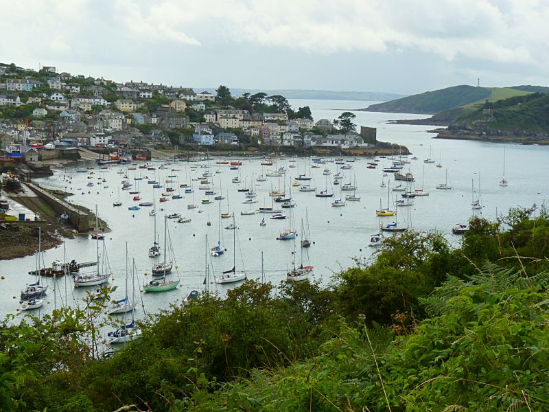
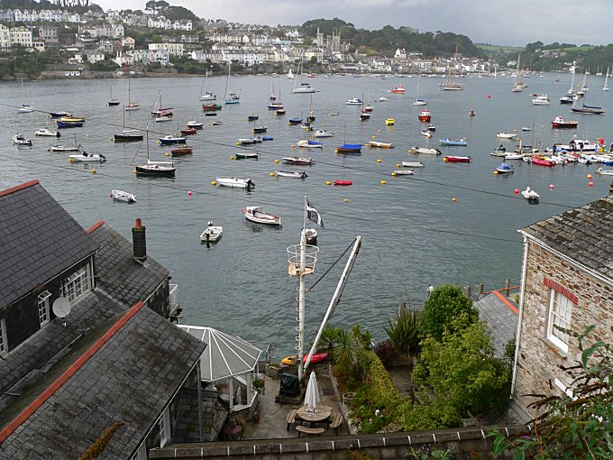
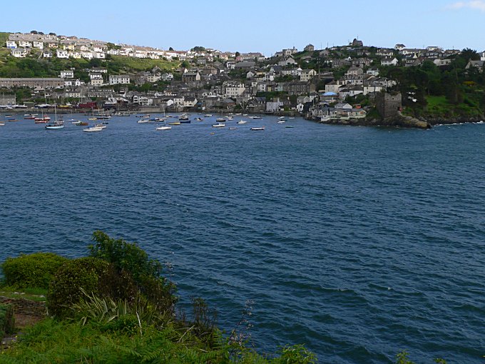
Polruan as seen from the Hall Walkjust beyond "Q"'s Memorial
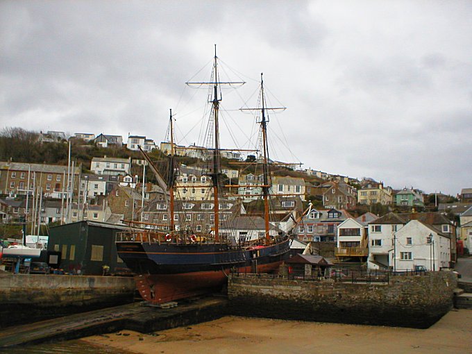
Square rig ships are still seen in Fowey harbour, and still repaired
in the yards at Polruan.
This one is being repaired at Tom's
Yard.
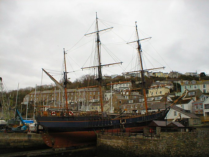
The barque "Earl of Pembroke"
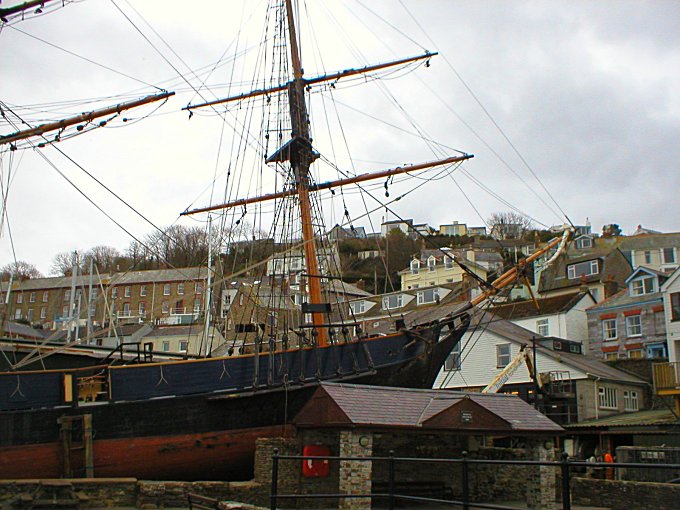
"Earl of Pembroke" in Tom's Yard
Polruan is smaller than the larger Fowey on the opposite side of the harbour, but it is also the older.
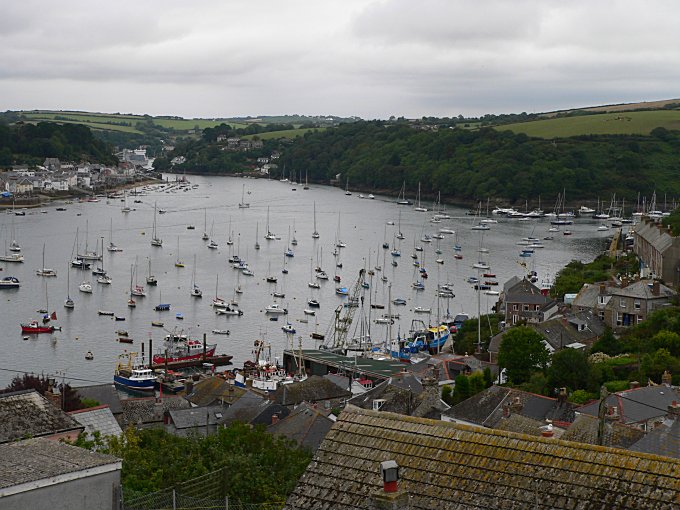
Fowey Harbour from Polruan
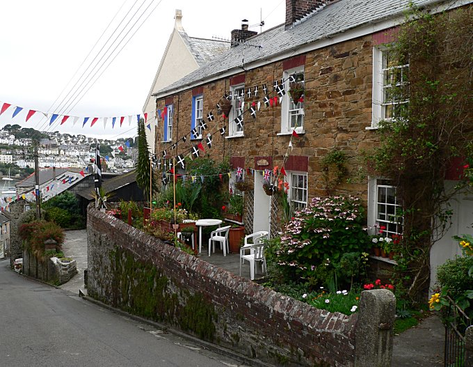
The harbour from West Street, Polruan
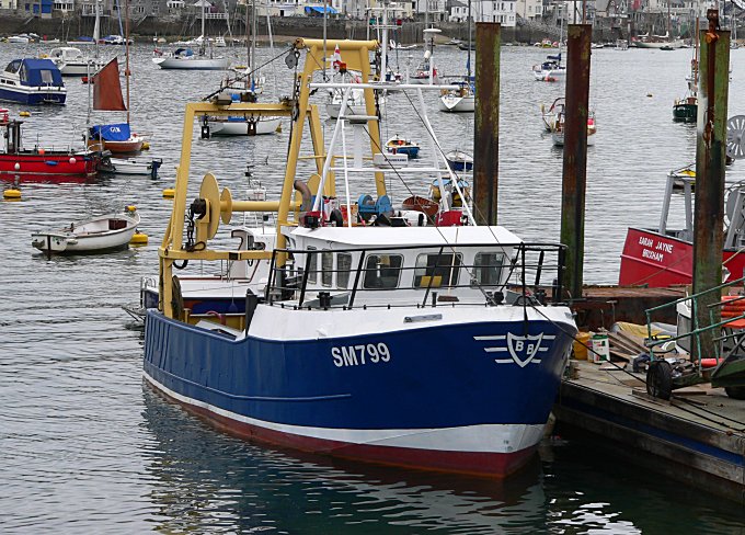
Fishing boat at Polruan Quay
Regatta time in Polruan
The Blockhouse in Polruan originally housed a chain that stretched to a similar blockhouse on the Fowey side, that was able to be raised up across the harbour entrance. It was originally used to defend the harbour against attacking French pirates, but on more than one occasion, was used to stop the local "Fowey Gallants" from going out and attacking the French, after peace had broken out!
Polruan and its Blockhouse as seen from the Fowey side of the
harbour
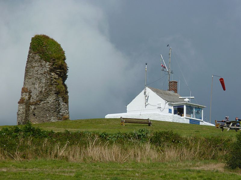
The Polruan
NCI (National Coastwatch Institution) lookout at the top of
Polruan
by the ruins of the old St Savior's Chapel, now a useful
navigational landmark
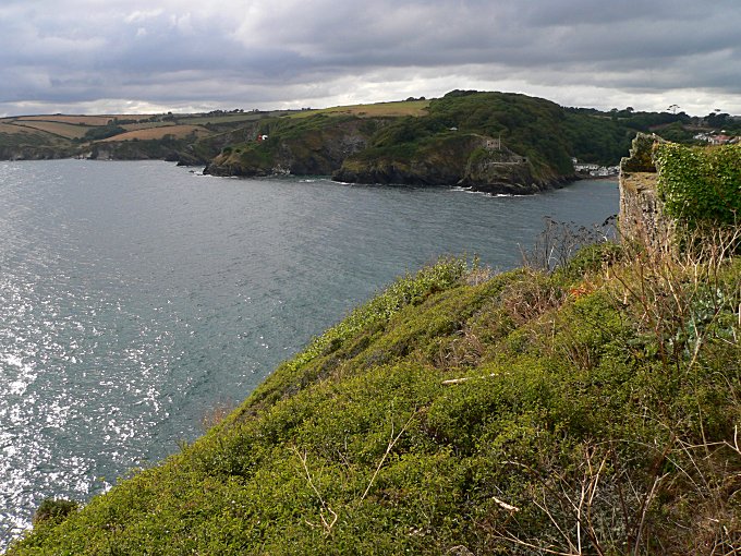
The harbour entrance from the old battery (known as "The Peak")
below St Saviour's
on St Savior's Point (opposite is St
Catherine's Castle)
The old battery on "The Peak" at Polruan - gun emplacement used
during the Second World War
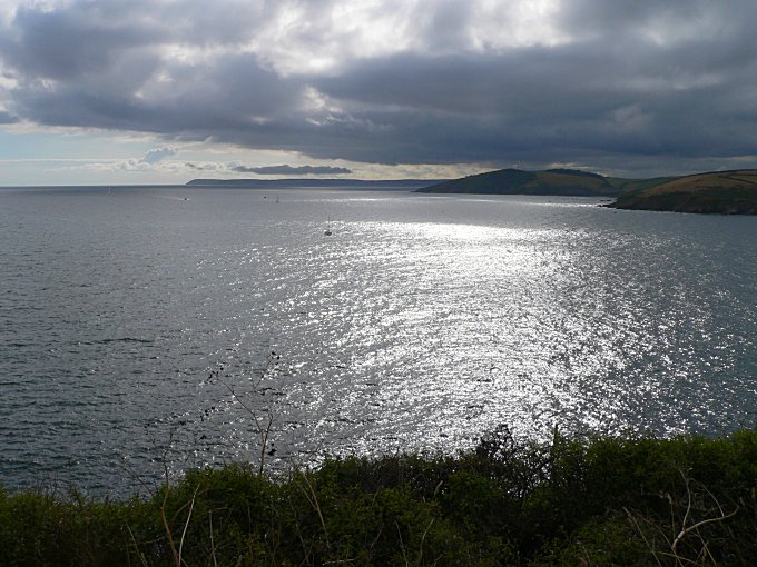
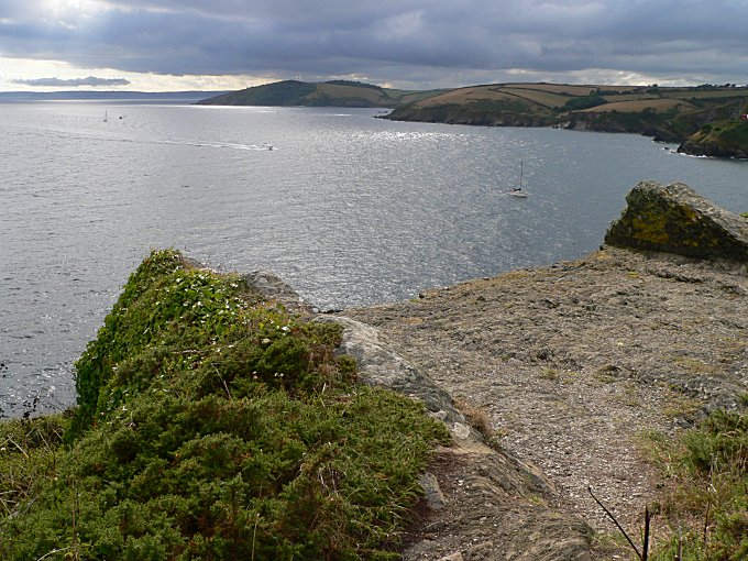
Looking south west towards Dodman Point and Falmouth beyond
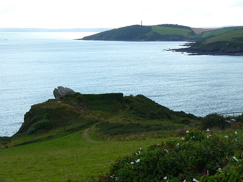
Looking down on "The Peak" and the old battery, from near Polruan
NCI and St Savior's Chapel
(in the background is the Cannis Rock
on the left, just showing, and Gribbin Head with its tall Day-mark
'Tis a very Cornish harbour!
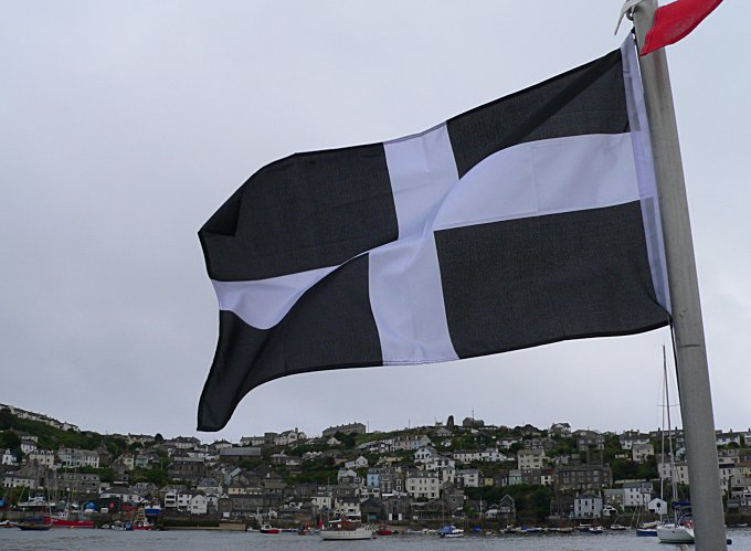
The flag Cornish of St.Piran flies over Fowey Harbour, with Polruan
beyond
See also the Fowey Harbour pages for more photographs of the harbour.
Connect with us, Like us and Follow us on Facebook!
PhotoFile Cornwall supports CoaST and Sustainable Tourism